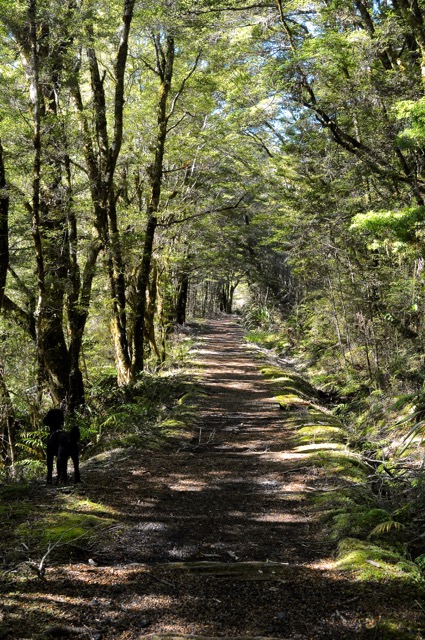
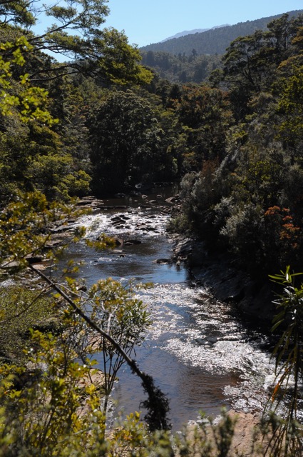
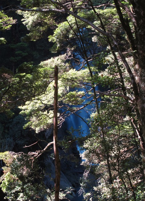
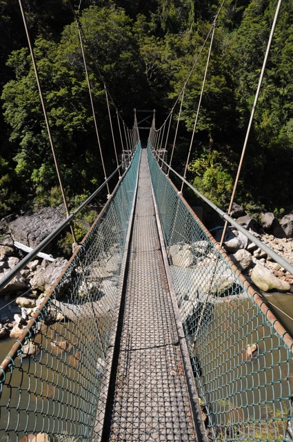
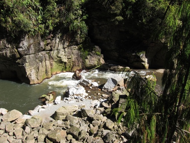
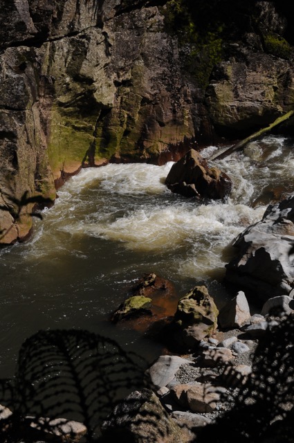
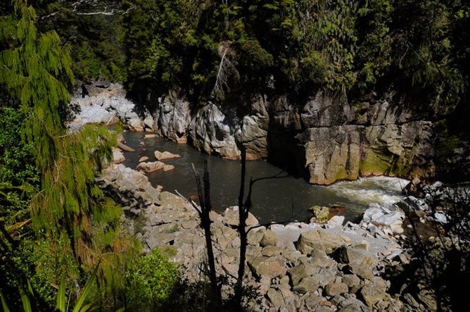
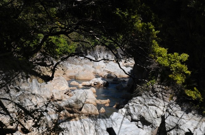
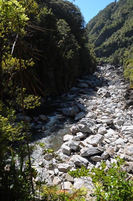
| The sun was creeping higher and making photography more difficult for lazy-arse amateurs like myself who hate having to meter and indeed barely remember how. But that petty annoyance was more than compensated for by that weird species of ambient drama conferred by the presence of a gorge, even when you're just hearing the water through the old growth before being treated to explicit views. These glimpses confirm what your ears have already conveyed; that something is happening. The topography is tightening up. The water is getting its way. | You can read the first part of this series here.As amazing as suspension/swing/whatever bridges constructed by underfunded government departments with thinly-stretched maintenance budgets are, I was pleased to be off the first one and back on solid ground. Solid-ish ground, because you can feel the spongey root-bound earth dipping slightly and exhaling as you cross the boggy patches sometimes. |
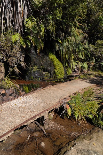
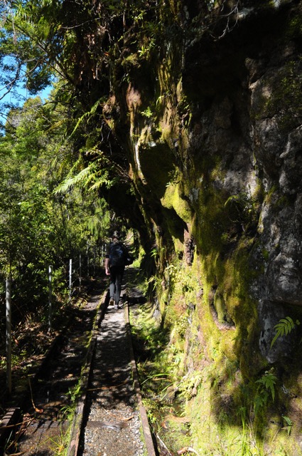
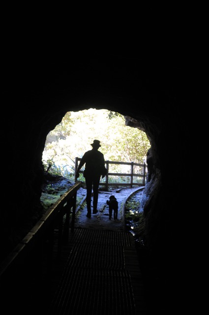
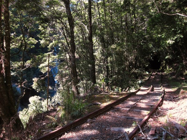
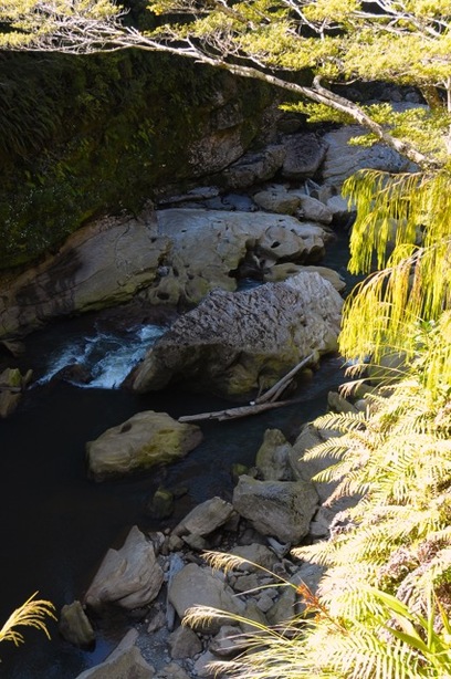
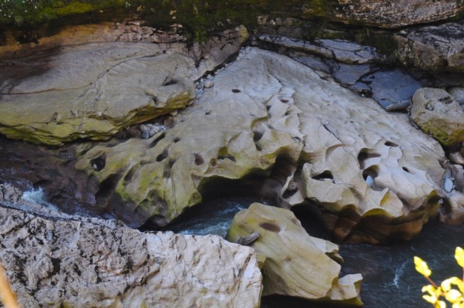
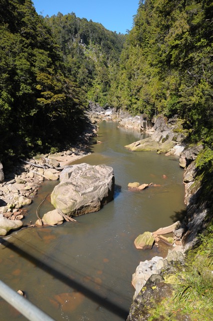
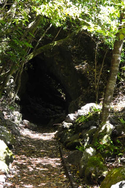
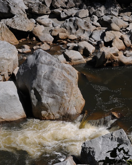
| There are crude tunnels hacked historically through various outcrops along the way. We were hoping for glow worm action but like most other organisms, glow worms probably clench their little buttocks when they hear me coming and thus we were cheated of our luminous due. The tunnels are narrow, clammy, smell like arse, wet khaki and occasionally sulphur. They are just long enough to bury you thoroughly in a decent quake, should one occur while you're fucking around with a camera in the middle trying to take a picture of your spouse and dog child who would probably survive such an event by speeding prudently and ungallantly ahead. | Just how persuasive water can be is writ large on the walls of the gorge, which has been licked open by the Ngakawau River and its tributaries through beds of Eocene shales, mudstone, grit, brown coal, lignite, sandstone and limestone etc. right down to post-Ordovician gneiss according to this fairly awesome geological survey map. The defunct coal-carting tram line clings tenuously to this mossy and uncertain geology like a drunk against the counter in of a chip shop at 3am, sliding away here and there with the earthquakes and scouring rainfall that the region is infamous for. |
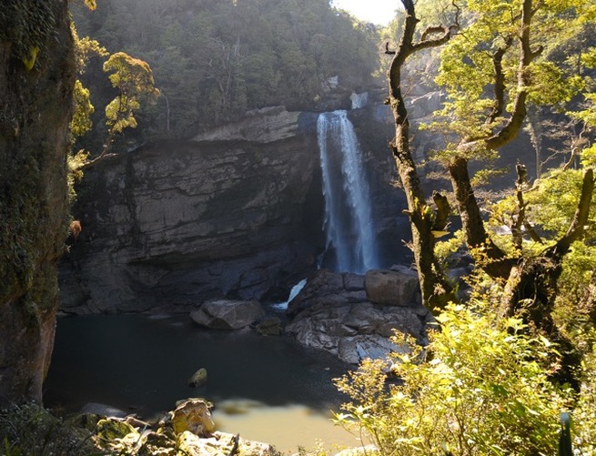
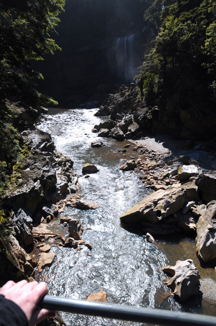
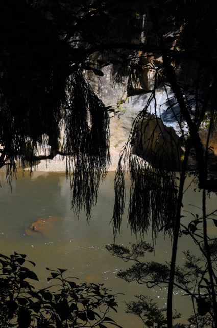
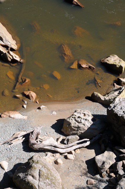
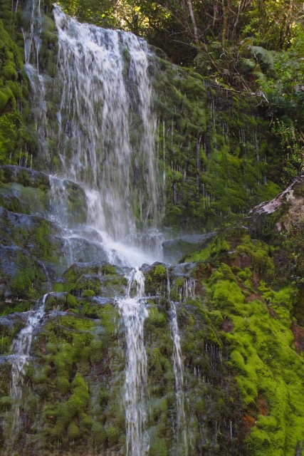
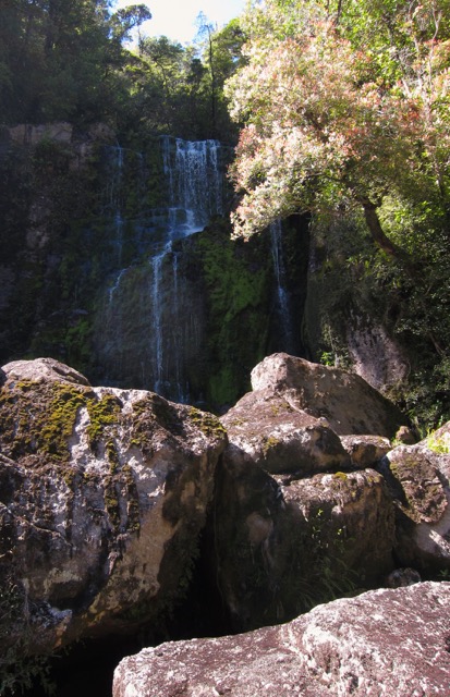
| It may be reiterative to say that the Charming Creek walk is all about slivery glimpses and abrupt revelation, but this peekaboo shit reaches its zenith as you come upon the Mangatini Falls roughly two thirds of the way along. There is very little to tip you off about either their size or imminence as you trundle through a thick stand of I think matai and beech trees. Quite suddenly it is there, all shadowed and veil-like and ampitheatrical, its water turned to plumy ivory as it drops over the scarp, then back to sullen olive and tannic brown as it resumes it slack meander over spate-carved stone. The falls are around 20 metres high from memory; I'm not sure that they're always this impressively furnished so if you're a cascade size queen, I'd visit during spring. Look at the tilt on the underlying strata. All this was once ancient sea bed; it's been hoisted skyward by the ascent of the nearby Southern Alps. |
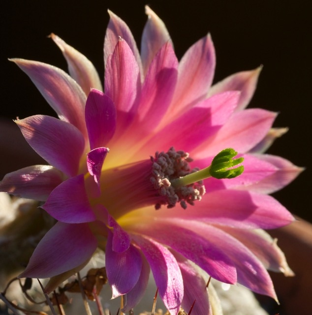
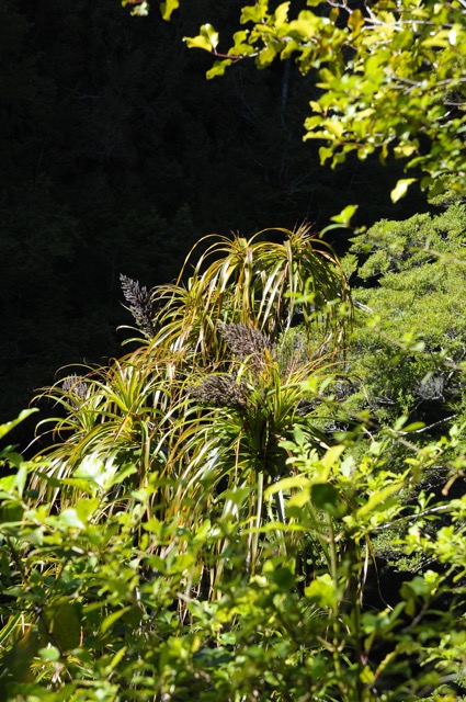
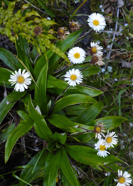
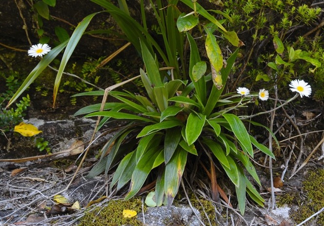
| Above: Dracophyllum, emergent from the cliff beside the falls and flowering busily. I think these are D. traversii (mountain neinei) but I'm often wrong and you probably don't care anyway. |
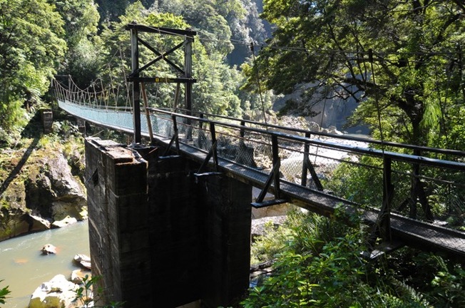
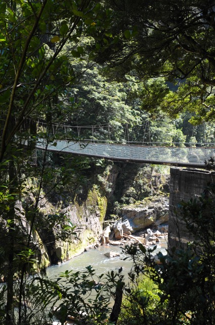
| And there's a really stiff breeze coming down the gorge to make it sway randomly sideways to go with the undulant, unpredictable bounce and drop of the decaying ply underfoot. It crackles and squeaks loudly. It is strung over the surviving pylons of an earlier structure. Which has not survived. I took one picture upstream, one down, and that was fucking it, man. | Bye, bitch. |
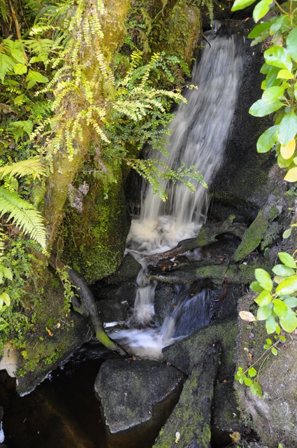
| Their sound must have a lot to do with their appeal. The biggest cascade-skeptic I've known had a serious hearing deficit and I don't think the zero fucks he gave about fountains or waterfalls was coincidental. | More aqueous action further down the gorge, from one of the innumerable side streams that feed the Ngakawau. What is it about waterfalls anyway? It's just a glut of H20 passing over the edge of something hard. We piss into water every day and we curse the hard thing when we stub our toe on it, but put them together a few clicks from civilisation and it's suddenly magical. |
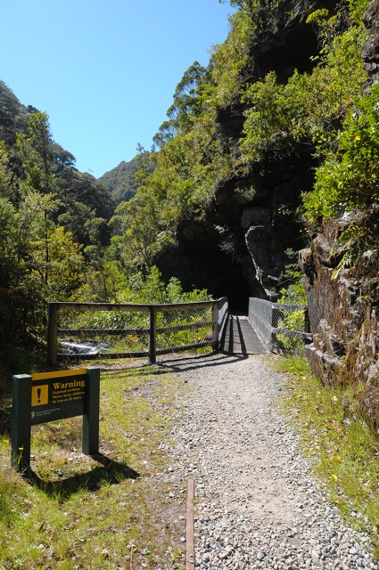
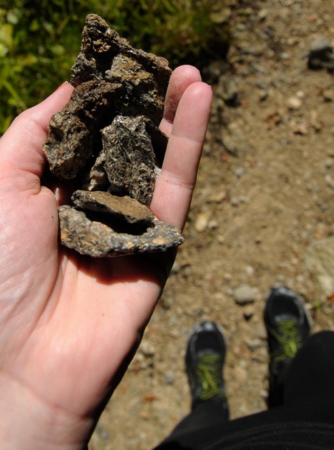
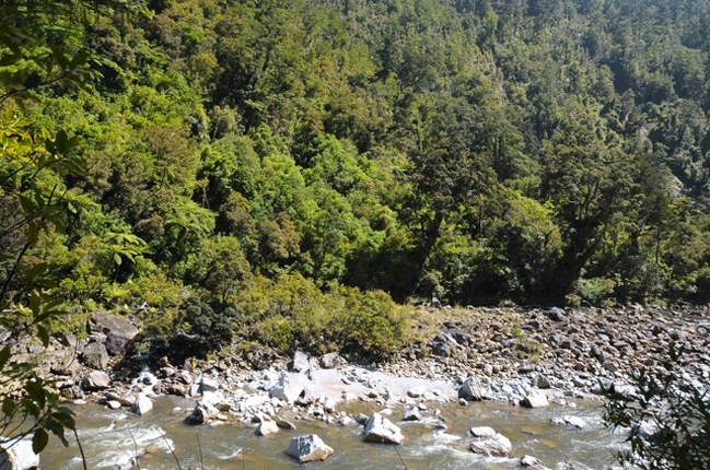
| We may or may not have obscured the warning sign with our persons and then waited to see if a falling chunk of rock would decapitate one of the mountain bikers that passed us at this point, but they selfishly disappeared from view before we could conclude our observations. Ha ha, just kidding. I love the mountain bikers who insist on riding walking tracks, and I really love negotiating the rutted, dangerous, fucked-up mess they leave for everyone else wherever they go. They're like jet skiers at a quiet beach; everyone just wishes there were more of them, really. | < From here on in the hillsides liked to relieve their boredom by firing quartz-rich boulders at unluckier pedestrians, so we kept our dawdling to a minimum as per the signs. I was impressed by the utterly fickle and inscrutable nature of this threat and almost disappointed that we didn't have to run screaming with only a crack and rumble as warning. Below: micaceous pyrites for everyone. The track becomes quite glamorous at this point with all the glittery minerals lying about even if they stubbornly refused to sparkle for the camera. I like to take them home and put them in my cactus pots. |
| Toward the end of the track where it emerges near the Ngakawau river mouth and the small (and I mean small) settlement of the same name, things begin to feel as though they're coming to a conclusion. Sort of like the end of a theme park ride when you're pulling up in the roller coaster trolley and the carny is there hoiking and scratching himself while you're herded out. The light and the land become flatter and you are spat out into a car park with a coal depot nearby; utterly and strangely prosaic after all that prehistoric immersion. We enjoyed Charming Creek for its no-bullshit, lowfi seclusion, challenging photographic opportunities and heavy bird count and will return next time we're over on the Coast. There is a pub about a seaward click from the end of the track and it does a fairly respectable fish (ye olde rig) and chip lunch. The region's only highway is nearby for anyone needing to hitch to Westport or Greymouth, though a quick word at any of the local shops should be able to secure informal/homestay accommodation in either Ngakawau or Granity if you're looking to spend a few days in the area. Local knowledge is everything in the Buller region. |
The human peril posed to unsuspecting walkers is exactly the same as everywhere else on the planet. Sexual assaults and all forms of violence against visitors is massively underreported, just like where you come from. Please don't buy the promotional bullshit about NZ being unusually safe and friendly. Take all normal precautions and listen to your instincts. The unsavoury behaviour we've personally seen has tended to be on tracks closer to major towns, but it can happen anywhere. Not trying to freak you out, just wanting to counter some of that worrisome visitor complacency.
Don't be a dipshit about parking up in isolated places if you're dossing in your car, either; everyone assumes you've got a laptop/party drugs/fancy overseas stuff under the front seats. You are seen as an easy mark- don't give predacious arseholes privacy. And while you probably won't run into the secretive dope cropping operations that flourish in areas like this, be aware that growers do remotely monitor and sometimes booby trap their plantations. If you go off-road and see weed, discretion is the better part of valour. Buy it in town, yo.
You can read the final part of this series here.

 RSS Feed
