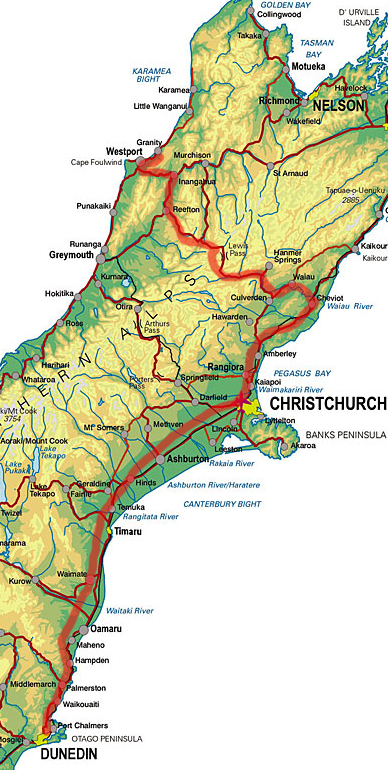
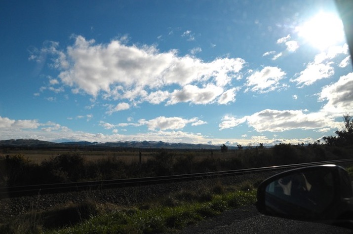
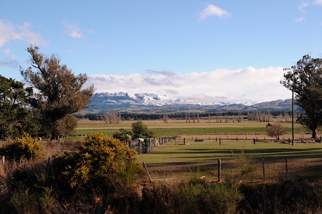
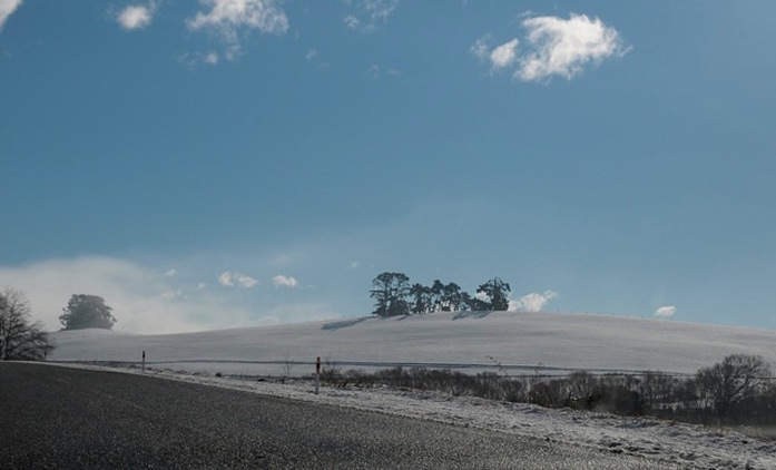
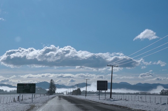
| It was long past due to attend a birthday so I caught a ride with Mum to the West Coast of the South Island. We live in Dunedin and were headed to Granity, just north of Westport, which meant this was going to be a round trip of about 1300 km, skidding along through Otago and the Canterbury Plains before turning northwest at Christchurch and crossing the Southern Alps through the Lewis Pass. I overdrew the route > in fat red photoshop for you. I took 90% of these shots from a moving car so you'll have to excuse the technical failings. There will be no selfies. So much rosy-tinted inexactitude is written about New Zealand and that blag starts to get on the figural dick of someone living in the distinctly browner reality of this stony little sliver over time. In the spirit of responsible redress I will attempt to call shit as I see it for the benefit of all. The first pic was taken just into the Canterbury Plains and looks all clement and lovely, but we'd had a really cold (for here) couple of days down which meant we set off into windy blinding snow and darkness over the Waitati hill heading north on our first leg. That sucked, let me tell you. Black ice on the highway wasn't much better and there weren't many photo ops in the middle of grey murk and dirty old snow. I hadn't been up to Christchurch for a couple of years and it was depressing to see the relentless march of intensive dairying on what was once low-ball sheep and cropping country. |
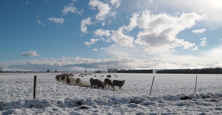
| < So we're past Christchurch and heading toward Cheviot, which is a little arsehole of a country town and the bane of hitchhikers trying to make the Blenheim ferry sailing (I do not remember that fondly). It's turning into tryhard vineyard country around here with giant wineries going for a Queenstown-fancy look (if you've been there, you'll know lol); artfully distressed wood, 'local' stone, fake historic-tasteful with a big bucket of random contemporary flourish dumped on its head. Keep it classy, Canterbury. |
| > There are two ways to get across the mountains that divide the South Island west of Christchurch; Arthur's Pass and the Lewis. They're roughly parallel, somewhat challenging to navigate and offer two different aspects of this incredibly beautiful alpine landscape to the observant. The Lewis is possibly a little less dramatic than Arthur's from a scenery pov, but is a slightly easier drive, offers more stops and tends to be the most reliable in winter. |
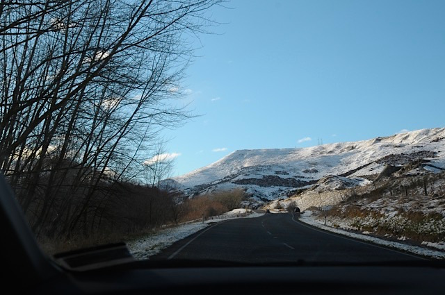
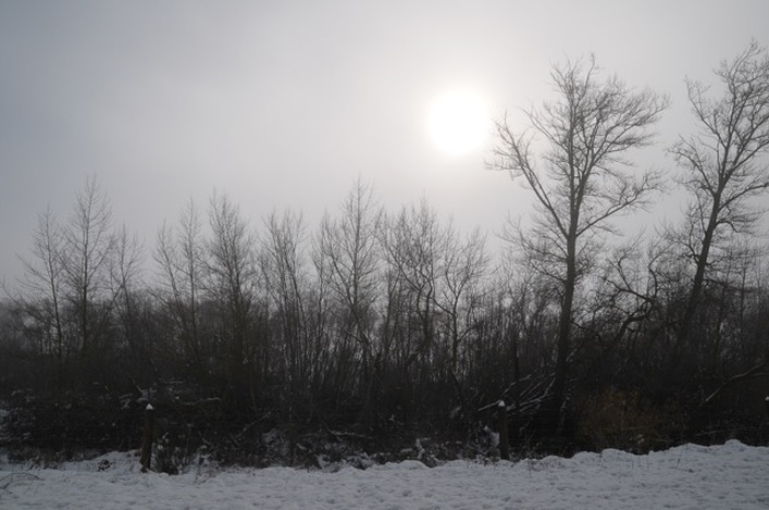
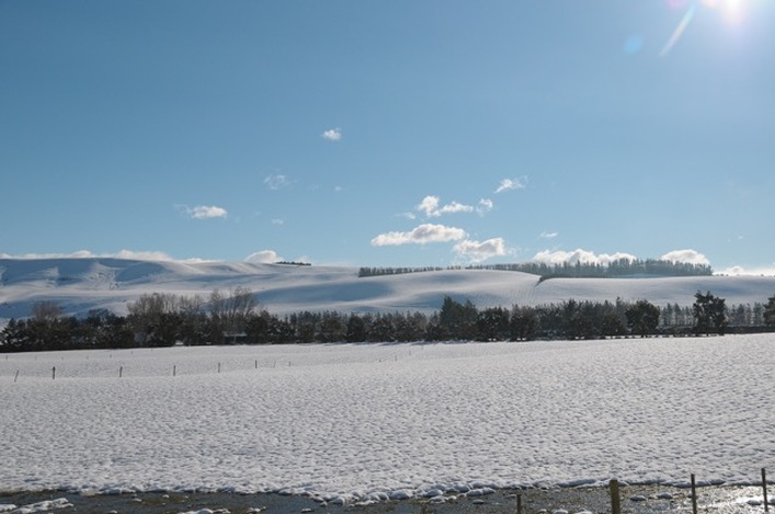
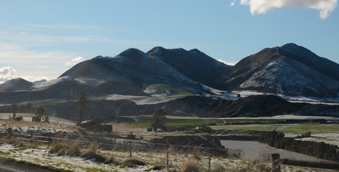
| Also: New Zealanders will regularly line up to perform psychopathic overtaking manoeuvres to get out from behind you, so if you're seeing 20 cars backed up in your rearview, for christ's sake just pull over and let them pass. It's expected of you and is just safer for everyone. < This is the most snow anyone had seen through the Lewis in a good while. It was -5º C in places, which is a big deal here, tee hee. The land is a cake-batter mix of scoured marble hills and other old sedimentary stuff with splashes of granite and schist thrown in. The Alps are still rising last time I heard on the back of the South Pacific and Indo-Australian plates, and we're overdue for a 8+ magnitude quake that will make the Christchurch ones look like toy-town bullshit. |
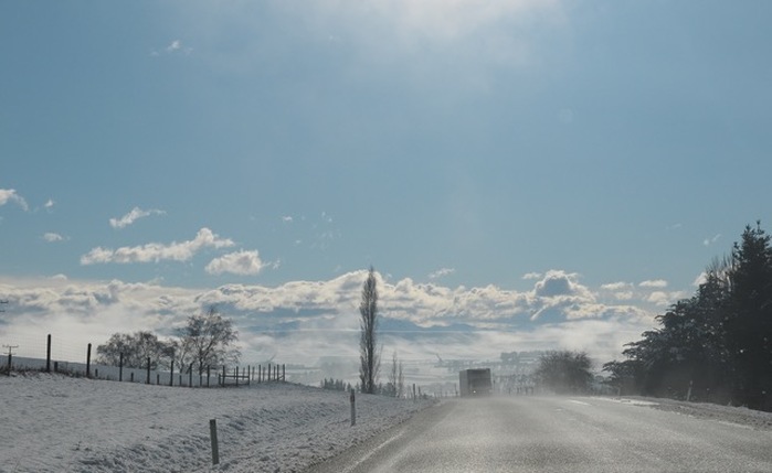
mountains beneath, creating a strange mirage or double-horizon effect. That was nice.
and/or imagined infringement, I can report that we were treated to 50kms of jerkily weaving, centre-line crossing, selfie-stick waving visitor driving on one of the most dangerous stretches of the Lewis as we headed into the mountains. They nearly turned us into human jam on a dozen different occasions, but I was almost as enraged by the fact that in the midst of all this incredible visual generosity, they were taking pictures of themselves. Cheers for that, you narcissistic twats in that fucked up brown van.
There are plenty of places to pull up in this changeable and photogenic stretch and photographers not as pressed for time as we were should just do that, obviously. Take ten minutes to examine each scene because there's a lot of nice detail here. The smaller rivers and tributaries are often hidden from the road but a bit of peering through the trees on foot at the designated stops is extremely rewarding. Don't just fire away in the general direction as per moi.
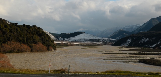
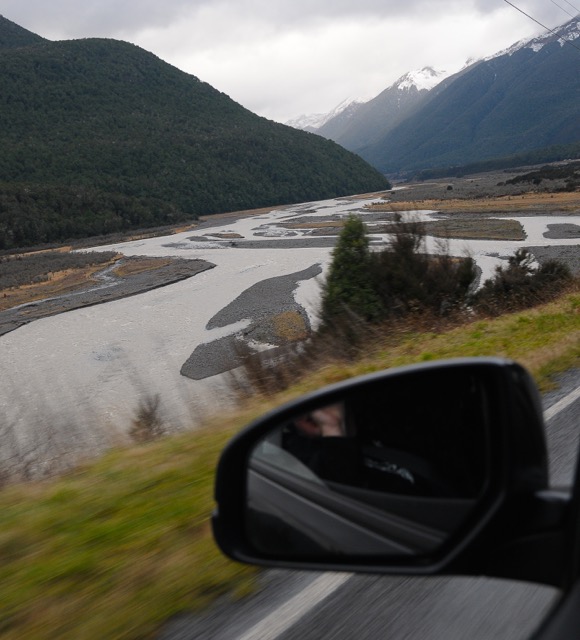
| < The rivers running through these ranges are usually modest braided trickles. That doesn't mean they don't know how to party, and significant snow or rain can turn them into greedy brown valley-wide monsters like this in an hour. They regularly eat unwary trampers, so look out for that shit too if you're headed here. |
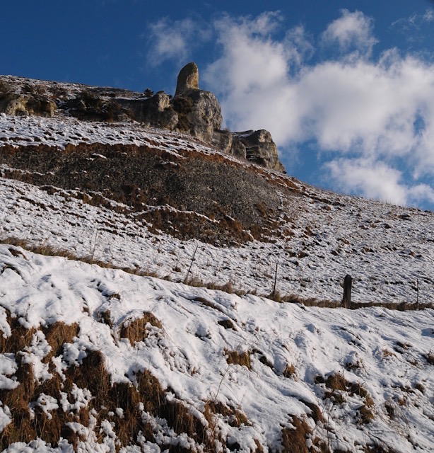
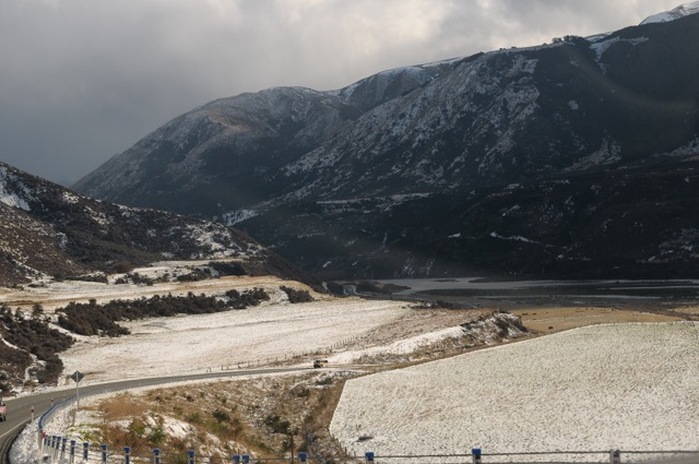
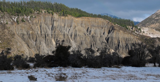
| > In the Otago hinterland, these fluted hillsides are usually the result of old-timey mining; they blasted the ancient river bed strata with jets of water looking for alluvial gold. Not sure if that's the case for this example in the midst of the Lewis but I can't think of anything else that could achieve this look. |
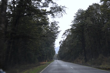
| < Heading into more serious altitude and the spooky hardcore beech forest that blankets the country from hereon in. Continue to Part 2. |

 RSS Feed
